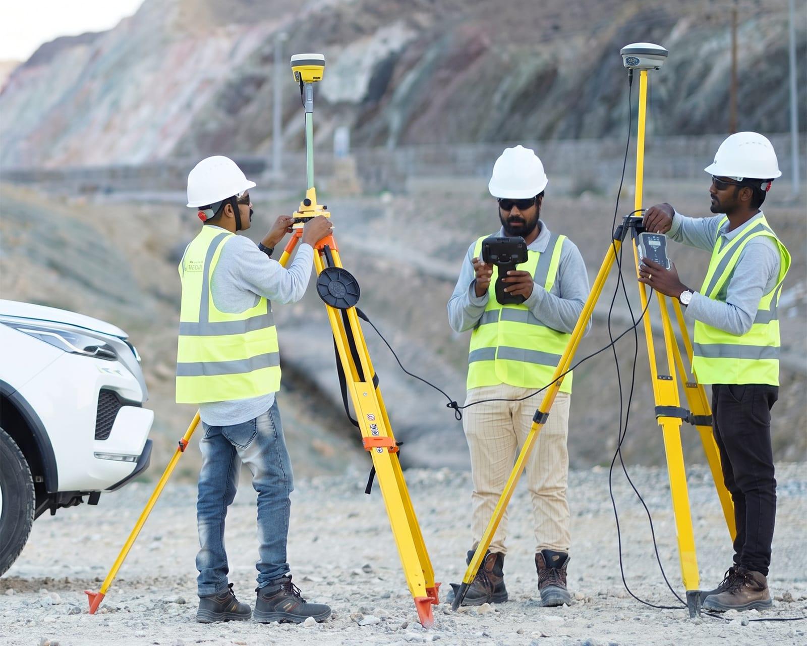
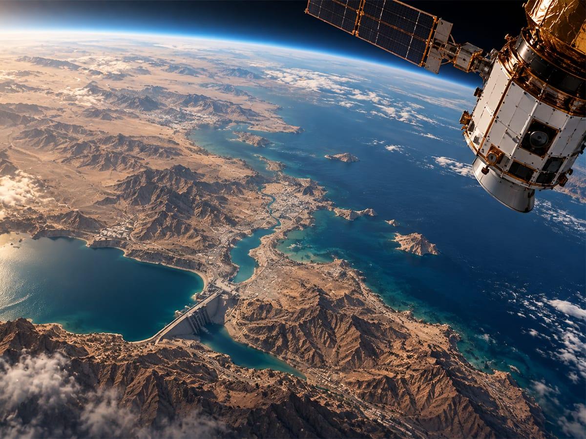
GMAP Global is a leading land survey company serving Saudi Arabia and the GCC. We are headquartered in Al Khuwair, Muscat, Oman, and bring more than 20 years of survey and geospatial experience. Oil & gas firms, planners, ports, builders and government teams get one partner for field survey, geospatial consulting and GIS.
Our teams mobilise from our Muscat headquarters for projects across Saudi Arabia and the GCC. In-house GIS consultants support every assignment, and our work runs on Esri/ArcGIS. We cover ground penetrating radar, hydrographic survey, 3D laser scanning and enterprise GIS. We turn exact measurements into clear decisions, with one team from site to final report.
The GCC land survey company trusted by government, oil & gas, infrastructure and municipal teams
Government MinistriesOil & Gas OperatorsMunicipalitiesInfrastructure ContractorsMarine & PortsConstruction & Real EstateUtilities & TelecomGovernment MinistriesOil & Gas OperatorsMunicipalitiesInfrastructure ContractorsMarine & PortsConstruction & Real EstateUtilities & Telecom
Our Services
OurCoreSurvey&GISServices
Four service lines from one land survey company serving Saudi Arabia and the GCC. We work from below ground to the seabed, and from one building to a whole city. Pick a service to see its scope and what you get.
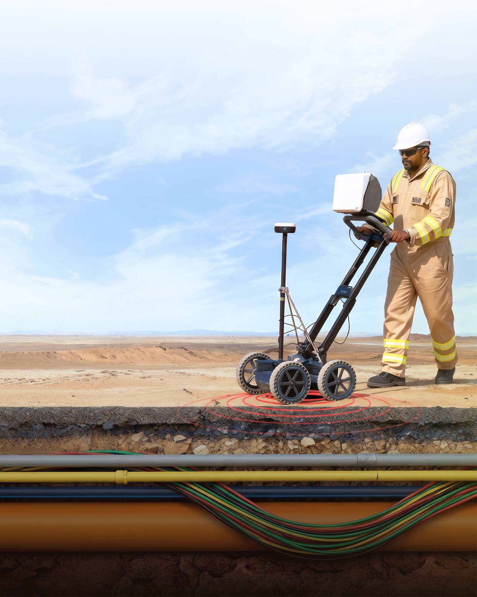
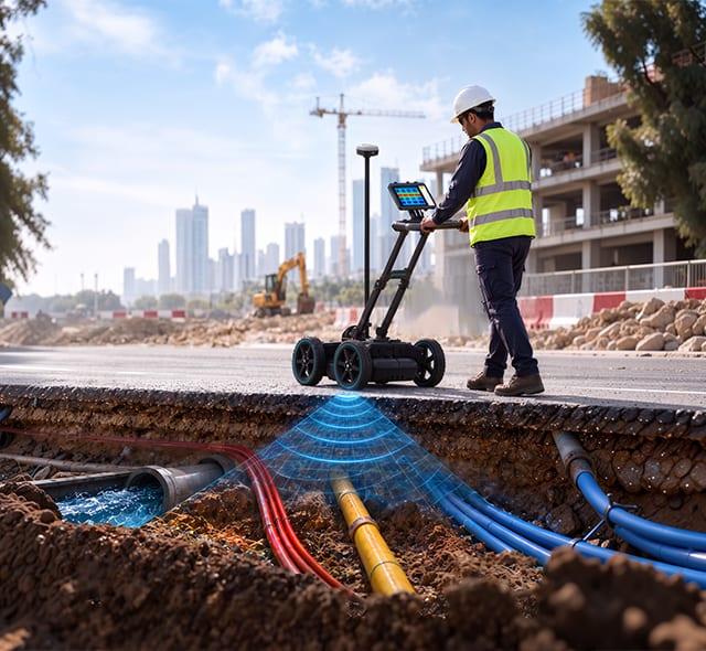
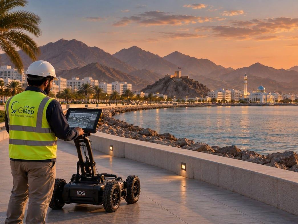
Our GPR survey Saudi Arabia team shows you what is under the ground before you dig. We provide ground penetrating radar services across Saudi Arabia and the GCC, mobilised from our Muscat headquarters. We find pipes, cables, ducts, rebar and voids up to 5 m deep. There is no digging and no unnecessary disruption.
5 m
Depth reach
PAS 128
Survey standard
Same day
Preliminary findings
CAD
Georeferenced output
Utility drawings in CAD, tied to the site grid
The depth and confidence level of each service found
First findings on site, the same day
Are you digging a trench, drilling into a live slab or checking utility records for a city road? Our GPR crews give you the facts. You avoid strikes, delays and costly redesign.
Underground Utility Survey (PAS 128)
We follow PAS 128. We combine GPR with electromagnetic location and grade each service we find by quality level. Your utility map will stand up for design and dig permits.
Concrete Scanning & Void Detection
High-frequency scans map rebar, cables, conduits and slab depth before you core. Lower-frequency scans find voids, sinkholes and karst under roads and foundations.
Where We Use GPR
We use GPR for utility mapping wherever a strike costs the most:
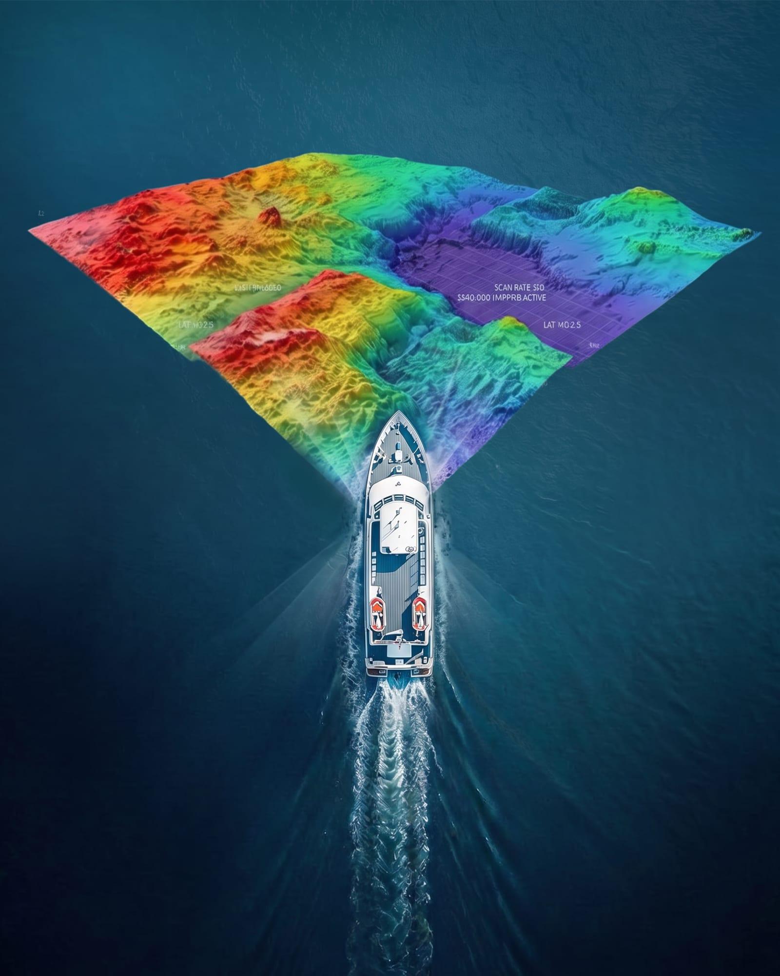
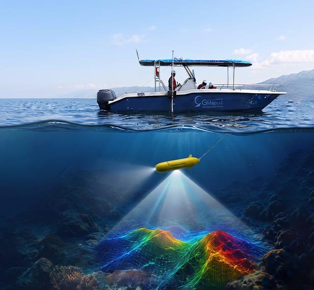
Saudi Arabia has coastlines on the Red Sea and Arabian Gulf. Our marine survey services Saudi Arabia team maps the seabed, water depth and subsea assets for ports, oil & gas terminals, clean energy sites and telecom landings. Our hydrographic and bathymetric crews use calibrated multibeam and single-beam echo sounders with RTK positioning for centimetre-level accuracy.
Two coasts
Red Sea + Arabian Gulf
IHO
Chart standard
cm-level
Positioning accuracy
Multibeam
and single-beam
IHO-standard bathymetric charts
Seabed types and dredging volumes
Routes for pipelines and cables
Before and after dredge checks
Survey data is tied to the applicable project coordinate reference system and authority requirements. Marine engineers, dredging firms and port teams can use it at once. We also support offshore work, including vessel positioning, tide and current checks, and rapid seabed checks after storms or groundings.
Hydrographic & Bathymetric Survey
We chart the seabed and water depth for channels, berths, jetties, dredging and land reclamation. We use multibeam and single-beam systems, then clean and check all the data.
Side Scan Sonar & Sub-Bottom Profiling
Sonar images of the seabed show debris, wrecks, pipelines and cable routes. Sub-bottom profiling shows the sediment and bedrock below, for foundation and dredge design.
Metocean & Magnetometric Surveys
We measure current, tide and waves for marine design. Our magnetometers find metal objects, buried pipes and unexploded ordnance before offshore work starts.
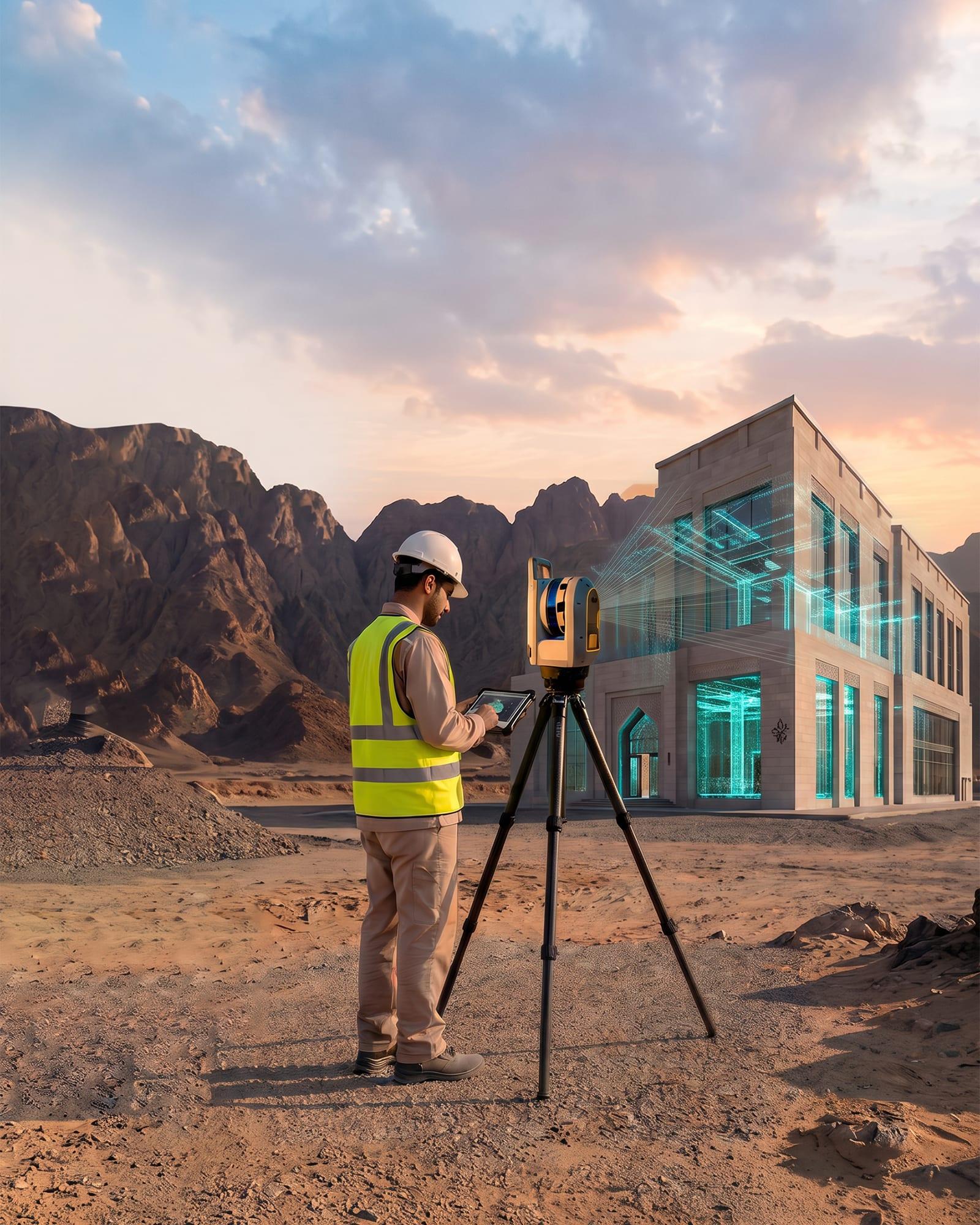
Our 3D as-built survey Saudi Arabia service records buildings, plants, bridges and heritage sites. We use 3D laser scanning to capture dense, survey-grade point clouds. One scan gives you 3D models, BIM-ready geometry and 2D as-built drawings that show what stands on site, not what old drawings assumed.
LOD 200–400
Model detail
mm
Capture precision
Revit / DWG
Delivery formats
Scan-to-BIM
Workflow
Joined, full-colour point clouds
BIM models in Revit, AutoCAD or Navisworks
As-built plans prepared for applicable Saudi and local authority requirements
Tied to the national control grid
Engineers, architects and owners use our scan to BIM services. They use it for retrofits, clash checks, plant changes, structure checks and digital twins. We scan old buildings and live plants alike. Your design team can start modelling the day the scan is done.
Scan-to-BIM & Point Cloud Modelling
We turn joined, full-colour point clouds into smart BIM models. They hold the building, structure and MEP parts at the detail your project needs. That makes retrofits and plant upgrades clash-free.
As-Built Drawings & Digital Twins
We draw plans, elevations and sections that meet municipality rules. We also build digital twins. Owners use them to view, plan and run assets long after the build ends.
Our GIS services Saudi Arabia team combines GIS consulting with survey-grade field data. We collect the data, build the geodatabase and run the spatial analysis. Government bodies, utilities and developers use it for planning and asset decisions. Every layer is built in Esri/ArcGIS and aligned to applicable Saudi and project requirements.
Saudi & GCC
Project alignment
Esri / ArcGIS
Native ecosystem
20 yrs
Own field data
Geodatabase
Delivery format
STN 01
Core GIS & Spatial Data Analysis
GIS mapping, remote sensing and satellite images feed one geodatabase. We use it for spatial analysis, resource planning, disaster response and master plans. We convert old CAD files to GIS and grow them into an enterprise GIS. You get Esri-ready geodatabases and shapefiles.
STN 02
Utility GIS & Asset Management
We map water, sewer, storm water, power and gas networks. We turn them into a live utility GIS asset register. Utilities and cities use it to manage assets, plan networks and run digital twins.
STN 03
Urban Planning & Master Planning
As urban planning consultants, we build the GIS behind master plans. We cover land use, zoning and cadastral layers. Planning teams get one trusted map for the whole city.
STN 04
3D, BIM & Digital Twin Modeling
This is what sets GMAP apart. We build survey-grade 3D models, BIM and city-scale digital twins. They merge laser scans, drone images and GIS layers into one model for planning.
Desk-based firms download base maps. GMAP builds every layer on its own field data, gathered over 20 years.
Esri/ArcGIS-compatible geodatabases
Shapefiles, web maps and dashboards
Built to applicable Saudi and project standards
Loads straight into ministry, city or utility GIS
Authority alignment. Our deliverables use the land, asset and planning terms required by the relevant authority and project. They are built for Esri / ArcGIS, so they can fit government, municipal and utility workflows.
Seven reasons why oil & gas firms, planners and smart city teams keep GMAP as their geospatial partner.
Data Accuracy
Survey-grade tools, checked control points and a QA review on every job.
Advanced Technology
GPR, multibeam, 3D laser scanners, drones and satellite images, all in one team.
Prompt Delivery
First reports on the same day, and final files on your schedule.
Data Protection
We keep government, utility and oil & gas data safe.
Competitive Pricing
Clear quotes based on scope, with no hidden costs to mobilise.
Government & Industry Experience
We bring more than 20 years of delivery experience with ministries, councils and major operators in Oman to Saudi and GCC projects.
Esri / ArcGIS Ecosystem
Every GIS file is built for Esri/ArcGIS and prepared around the applicable Saudi, project and authority requirements.
Ministry-grade proofGCC experience since the early 2000s
Featured Projects
ProvenonLandmarkOmanProjects
Real proof on major projects in rail, power, water, waterfront and aviation. Few local firms can match this track record.
01
Rail · Alignment
Cross-Border Rail Alignment Survey (Oman)
A topographic and control survey of the cross-border rail route. Accurate enough for design.
02
Power · 85 km
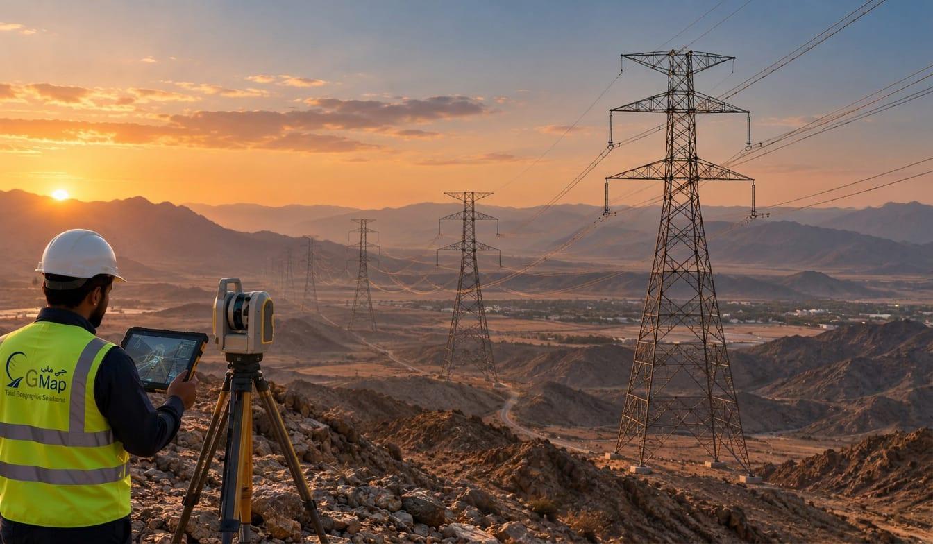
400kV Transmission Line, Oman
An 85 km route survey for a 400kV overhead line. It covered tower spotting and profile data.
03
Water · 350 km²
HYDROM2 Water Project
A digital surface model of 350 km². It supports water resource planning.
04
GPR · Muscat
Al-Khuwair GPR Waterfront (Muscat)
We mapped the buried pipes and cables across the Al-Khuwair waterfront.
05
Marine · Aviation
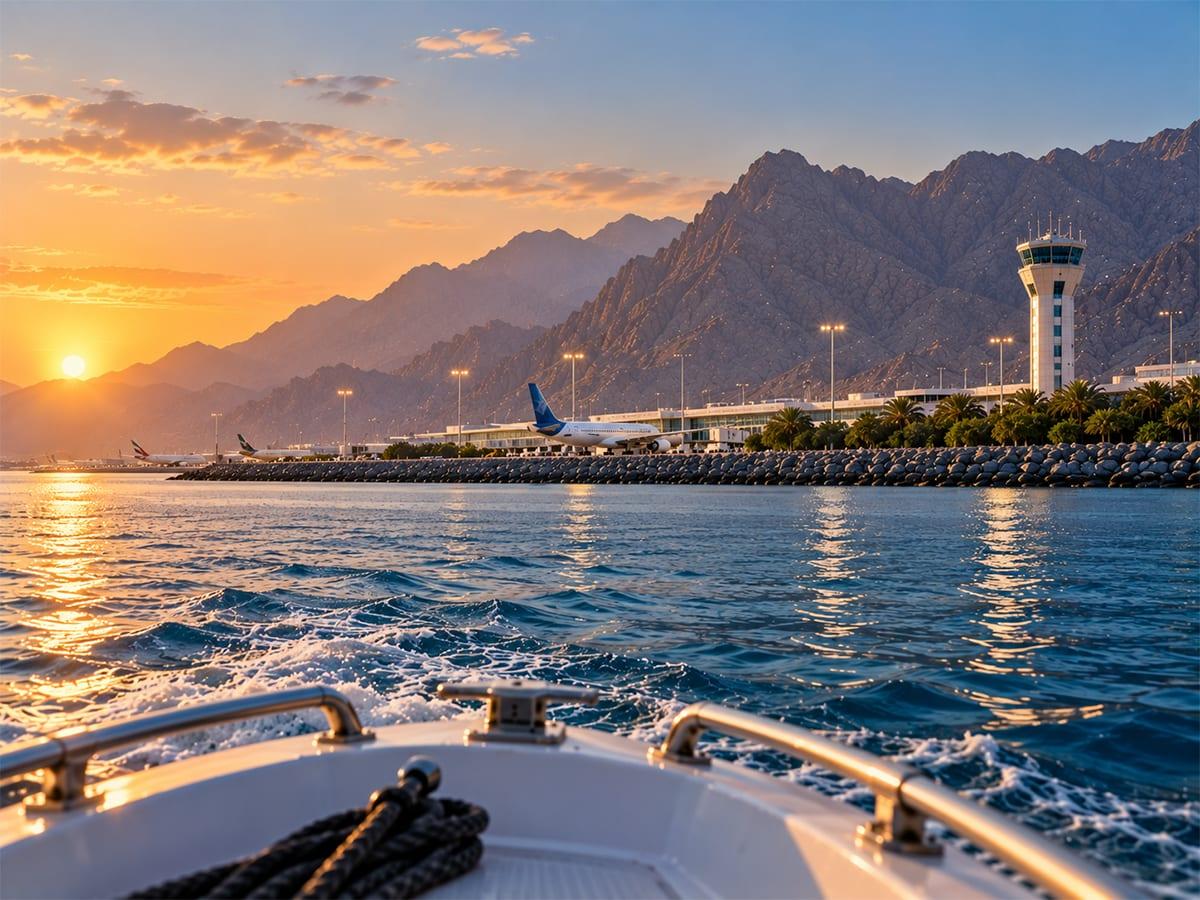
Musandam Airport Bathymetry
A depth and coastal survey to help plan the airport in Musandam.
Testimonials
WhatOurClientsSay
“We have a great partnership with GMAP. We've utilised them in many projects and their services have been impeccable — the GPR utility drawings arrived the same day and saved us a redesign.”
PM
Project ManagerInfrastructure Contractor, Muscat
“GMAP's hydrographic team mobilised within days and delivered multibeam charts that our dredging contractor could use directly. Accurate, well documented and easy to work with.”
ME
Marine EngineerPort Development Authority, Oman
“Their utility GIS geodatabase loaded straight into our ArcGIS environment with zero rework. GMAP understands how municipal planning teams actually use spatial data.”
GS
GIS SpecialistMunicipal Planning Department
FAQs
Survey&GISServicesinSaudiArabia—FAQs
Straight answers on cost, coverage, file types and speed from a Muscat-headquartered survey and GIS team serving Saudi Arabia and the GCC.
Still have a question?
Speak to our survey or GIS team at our Al Khuwair, Muscat headquarters. There is no obligation.
Cost depends on site size, depth, deliverables and turnaround. Most GPR and 3D as-built surveys are quoted per site after a short scope call. Marine and GIS projects are priced by scope. Ask for a free quote. We reply within one business hour.
Yes. Our utility GIS consultants map water, sewer, storm water, power and gas networks. We hand them over as Esri-ready geodatabases. Cities and utilities use our asset management work to plan upkeep and model their networks.
Our head office is in Al Khuwair, Muscat, Oman. We mobilise for projects across Saudi Arabia and the wider GCC, serving oil & gas, infrastructure, marine and government requirements.
Yes. Our geodatabases, shapefiles and maps come ready for Esri/ArcGIS and are structured around the applicable authority, project and planning requirements. Government, city and utility teams can load the data into their GIS environment.
For GPR, utility mapping and most 3D laser scans, we share first findings on site the same day. CAD or BIM files follow on the agreed schedule. Marine surveys get processed charts once the multibeam data is cleaned and checked.
Yes. As master planning consultants, we prepare land use, zoning and urban GIS base data for city and smart city plans. We combine survey-grade field data with satellite images and 3D digital twins.
Get in Touch
GetYourFreeSurveyorGISConsultationforSaudiArabia
Talk to our team about your GPR, marine, 3D as-built or GIS needs. Get a free quote with no obligation.
Talk to a GCC land survey and GIS company headquartered in Muscat, Oman. Call us, message us on WhatsApp or send the form. Our Al Khuwair team replies within one business hour.